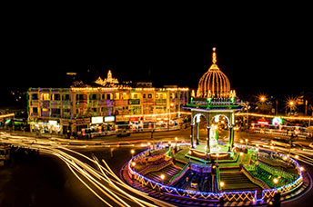
Once a quaint port town, today, Mangalore is a rapidly growing industrial area as well. Officially named Mangaluru, it is located about 350 kilometres west of the state capital, Bangalore, snug between the Arabian Sea and the Western Ghat mountain range.
At different points in the town’s history Mangalore was ruled by several dynasties – the Kadambas, Alupas, it was part of the Vijayanagar Empire, the Keladi Nayaks, and the Portuguese. Strategically located, the city was then a bone of contention between the British and the Mysore rulers, Hyder Ali and Tipu Sultan. Annexed by the British in 1799, Mangalore remained in the Madras Presidency until India’s independence in 1947, when it became a part of the state of Mysore and later Karnataka.
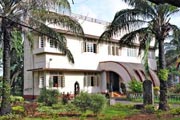
The city’s landscape is picturesque, composed of undulating hills, groves of coconut palms, freshwater streams, pristine beaches, broad roads winding through serene residential areas- many houses with hard red-clay tiled-roofs. The topography of the city is plain up to a point inland and then climbs sharply to the undulating hilly terrain towards the east. Mangalore is situated beside the backwater of the Netravati and Gurupura rivers. The rivers encircle the city, with the Gurupura flowing around the north and the Netravti, the south of the city. The rivers form an estuary at the south-western region of the city and flow into the Arabian Sea.
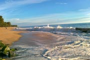
If the sun, sea and lengthy expanses of pristine beaches topped with generous slices of history is an ideal holiday, then Mangalore is the destination to pick. Several scenic beaches line the coast near Mangalore – Mukka, Panambur, Tannirbavi, Suratkal, and Someshwara, fringed by seemingly endless stretches of coconut and Ashoka trees.


